Maritime chokepoints + production-geography map over the trade-balance, currency and futures-positioning lens — where physical flows meet price
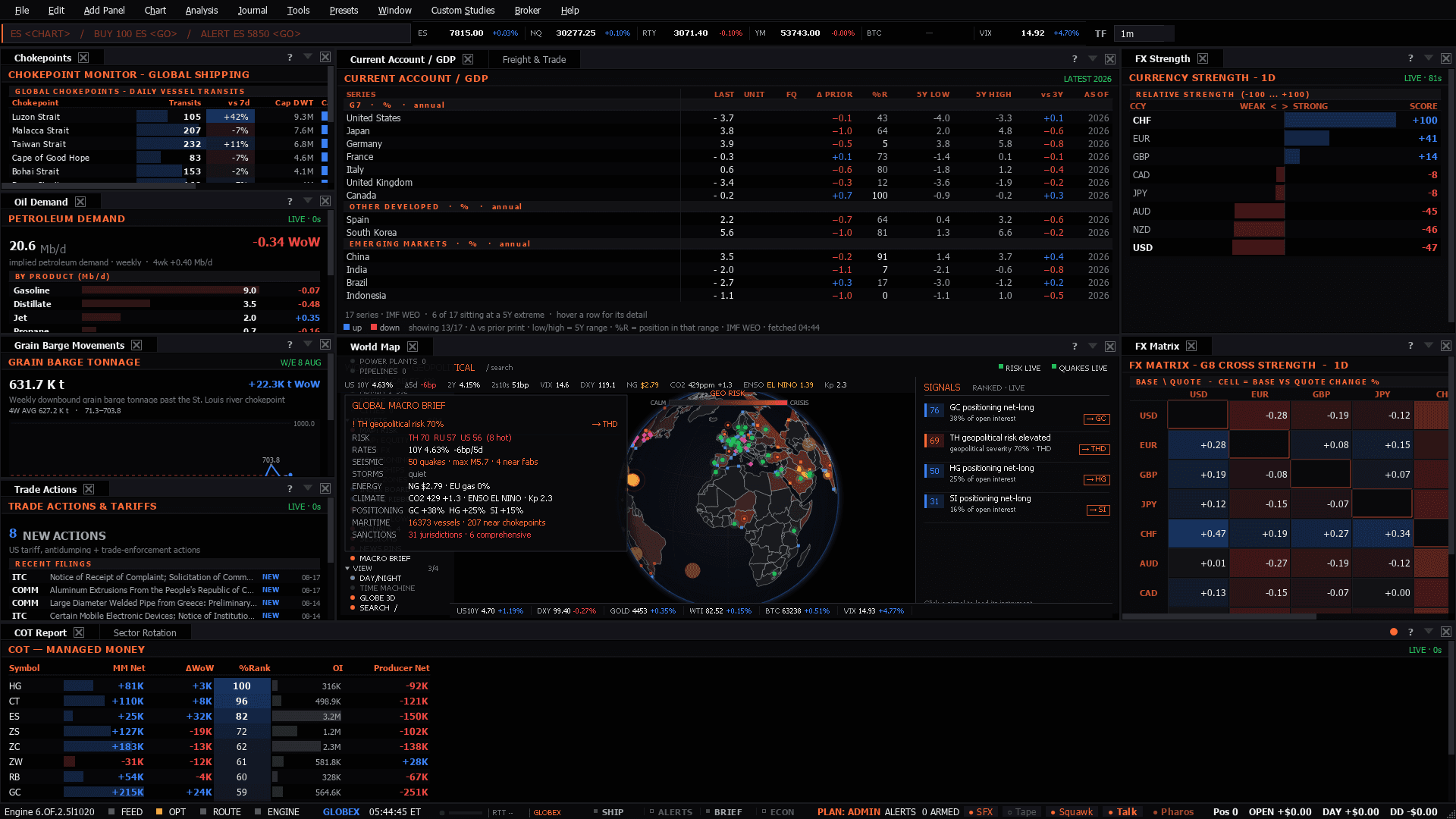
Maritime chokepoints + production-geography map over the trade-balance, currency and futures-positioning lens — where physical flows meet price
Use it when: When physical flows — shipping, chokepoints, production geography — are driving price.
Physical flows - shipping, chokepoints, production geography - which is a crude story far more often than an index one.
Only when a disruption is large enough to move the inflation path.
Rarely relevant.
Chokepoints are the direct line: Hormuz, Suez, Bab-el-Mandeb. A headline with no move in futures positioning is a story; one where positioning has already shifted is a trade you are late to.
Presets in the menu bar, under the category this desk belongs to — one click applies the whole layout, and a checkmark tracks which one is active.Ctrl+P, which finds it by name.Add Panel menu.The tell: A chokepoint headline with no move in positioning is a story. One where positioning has already shifted is a trade you are late to.
7 panels, read straight from the preset definition in the desktop build:
Plus 4 dense sheets — wide tables that carry a whole complex in one upstream call rather than a wall of single-series tiles:
These desks assume the theory. If any of it is unfamiliar, the background reading is on the learn side:
